
I have never planed to visit the Ban I-Tong before. My trip buddy and me just wanted to to spend time in the Kanchanaburi Province for 3 days. We just planed to go to the Kanchanaburi by the train which I told the story of my wanderlust in The Death Railway beyond The Bridge over the River Kwai.
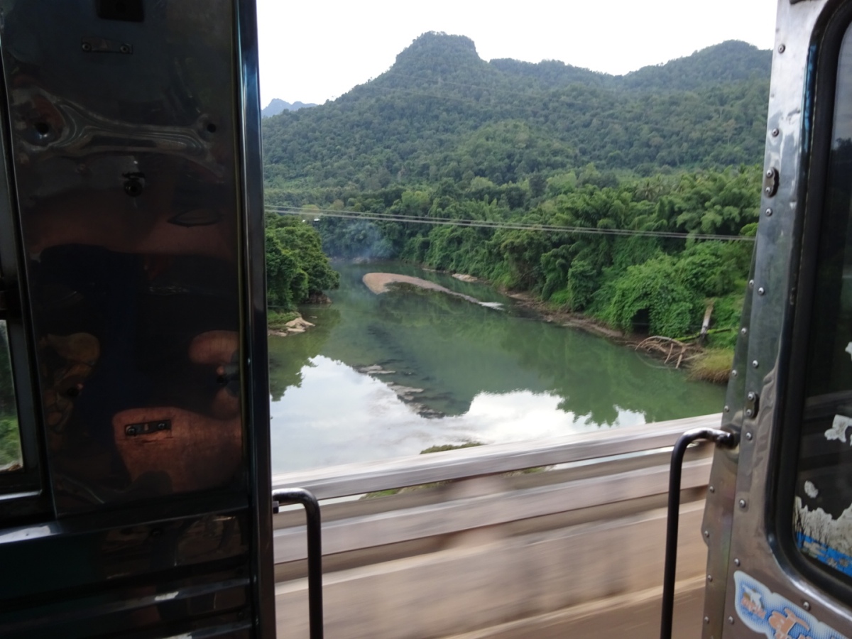
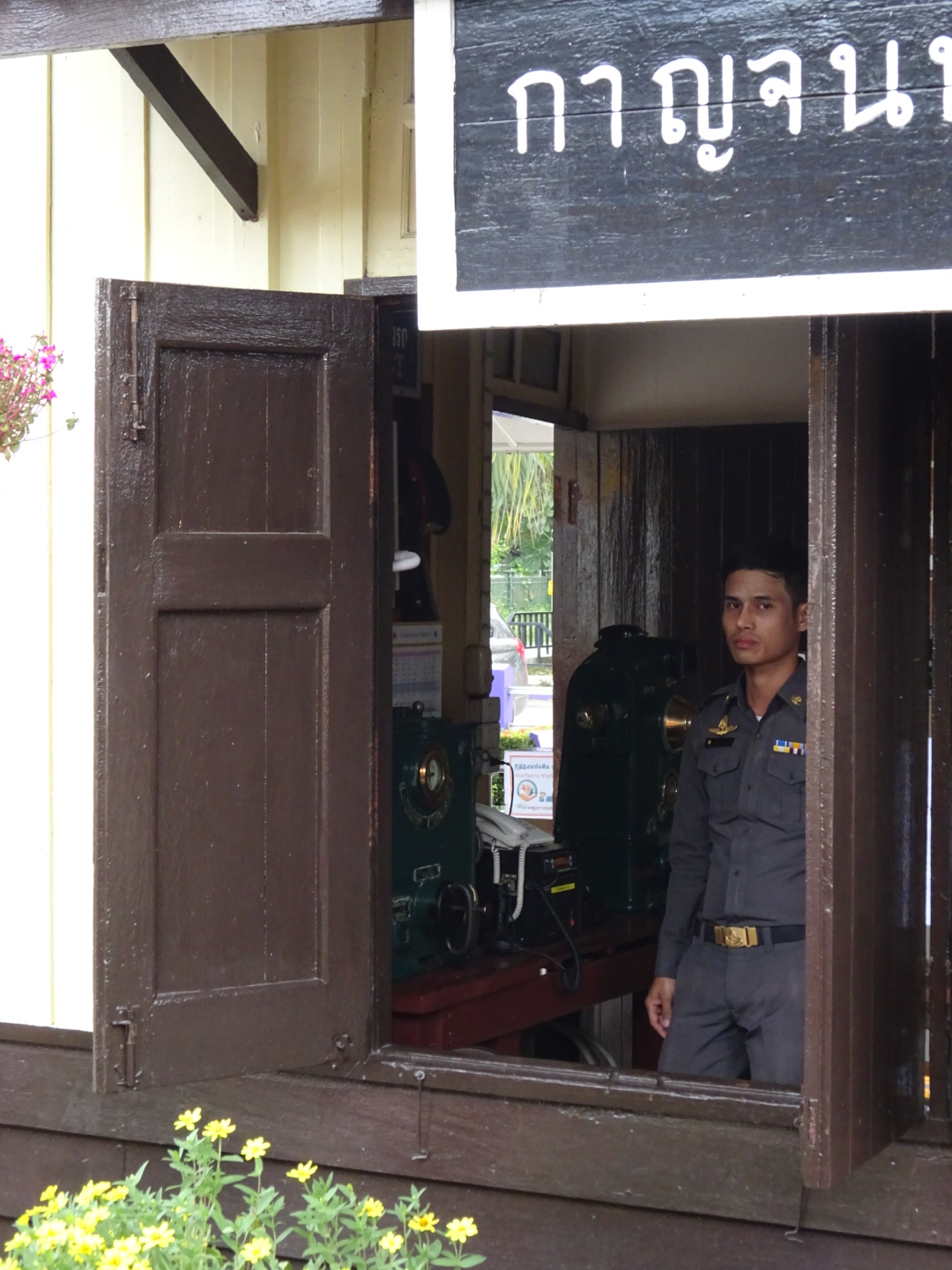 Kanchanaburi Railway Station, thank you photo by Mr.Håkan Larsson
From that story, when we finished our lunch we decided to visit the Saiyok Noi Waterfall. It is about 1.5 km. from the Namtok Station. We took a “Song Thaew” to the Saiyoik Noi Waterfall. The Song Thaew is a pick-up car with a high roof and there are two long seats. We were very disappointed because of water less at the Saiyok Noi Waterfall. Yes, I knew the waterfall lacked of the water because of the severely drought last year in Thailand. Anyway the landscape is very nice. The tress on the forest trail is still green. We hoped that the water was coming soon because of ้raining heavily on that time.
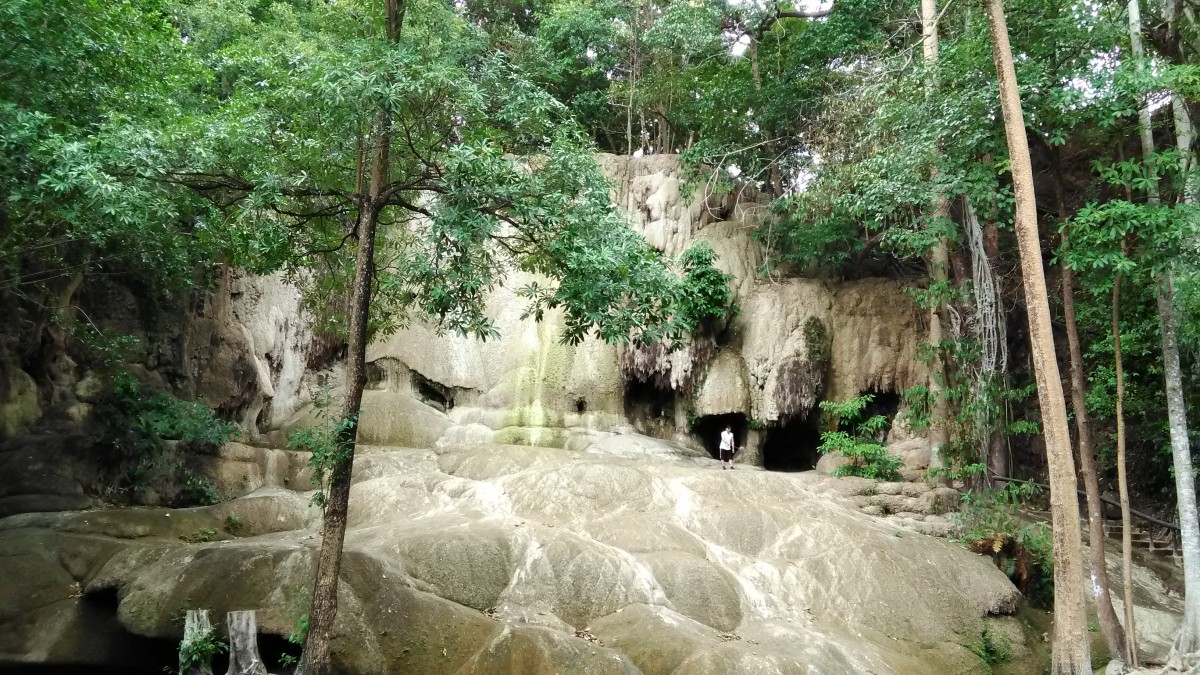 The Saiyok Noi Waterfall without water
We took a little time at the Saiyok Noi Waterfall. Then I got an idea to go to the Sangkhla Buri District. It is the most northwest district on the border of Thai-Myanmar. There are many interesting places there. We took await the bus at the Saiyok Noi Waterfall bus stop. During the time we waited the bus we tasted some snacks there. They are the snacks made from the bananas, the taro, sweet potatoes, tasty! I bought them some.
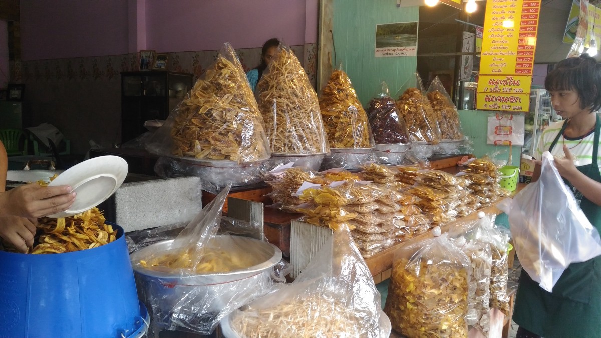
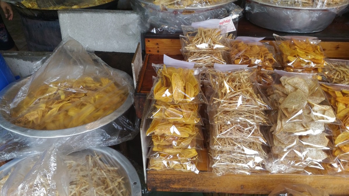 Snacks shop
The bus came and we took a seat on the back seats of the bus. I told a ticket collector we would go to the Sangkhla Buri. He told me that the bus went to the destination at the Thong Pha Phum District because of time limitation. Then we changed a plan to stay a night at the Thong Pha Phum District. It was a nice green view on the roadsides to the Thong Phu Phum District. The distance from the Saiyok Noi Waterfall headed to the Thong Pha Phum District 82 kms. We arrived at the Thong Pha Phum District and stayed a night at the Thong Pha Phum Place. It is a small new hotel, not bad. We knew it because of a suggestion of the bus ticket collector.
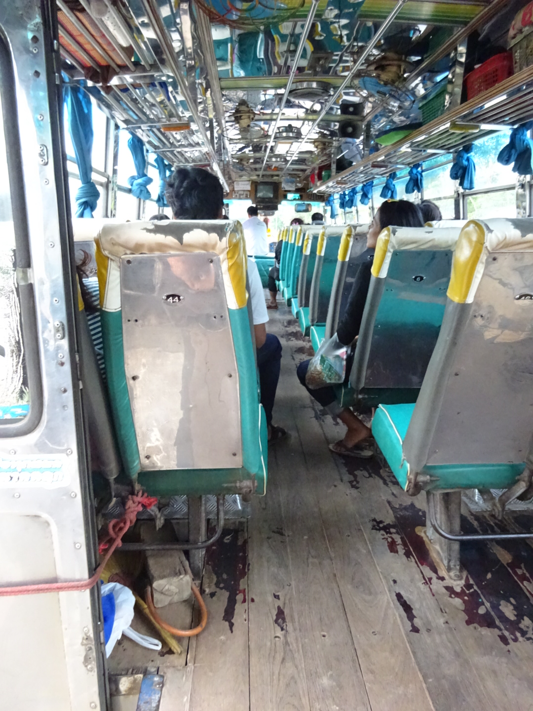 A bus to the Thong Pha Phum District, thank you photo by Mr.Håkan Larsson
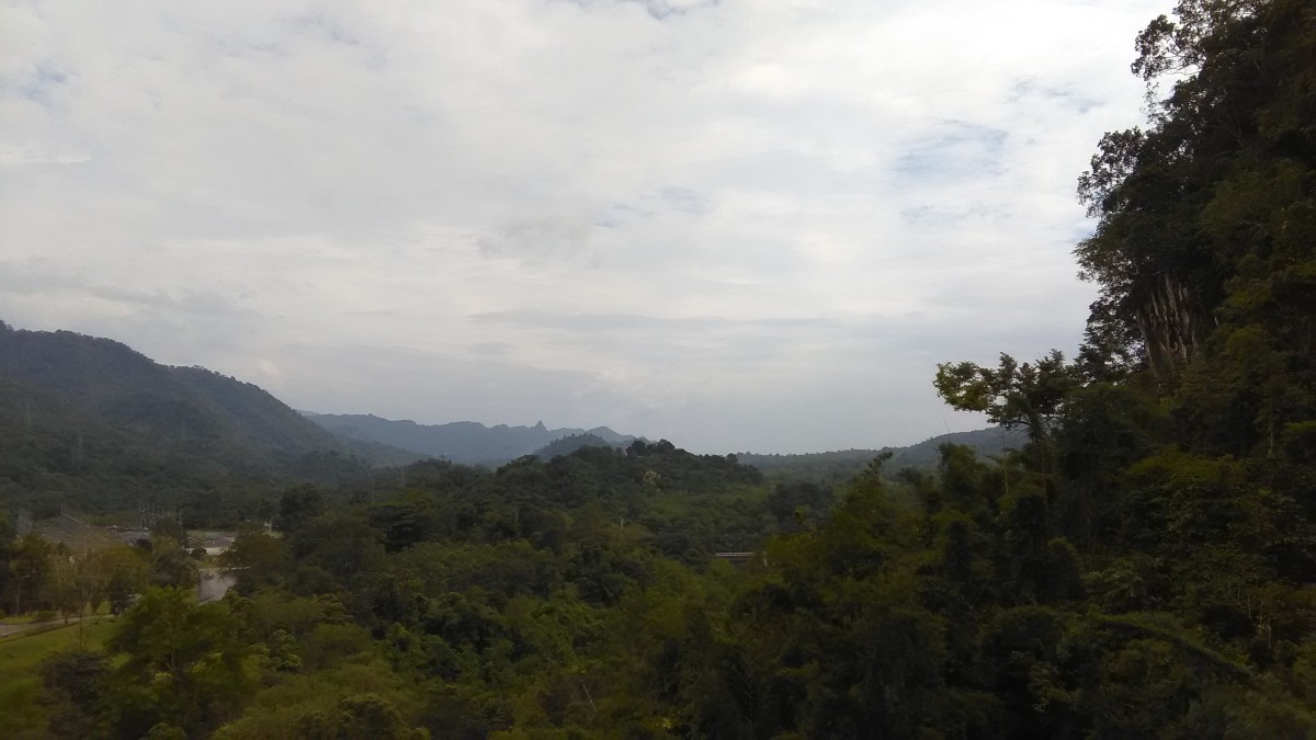
 A pretty nice natural view along the roadsides to the Thong Pha Phum District, thank you photo by Mr.Håkan Larsson
 A pretty nice view along the roadsides to the Thong Pha Phum District, thank you photo by Mr.Håkan Larsson
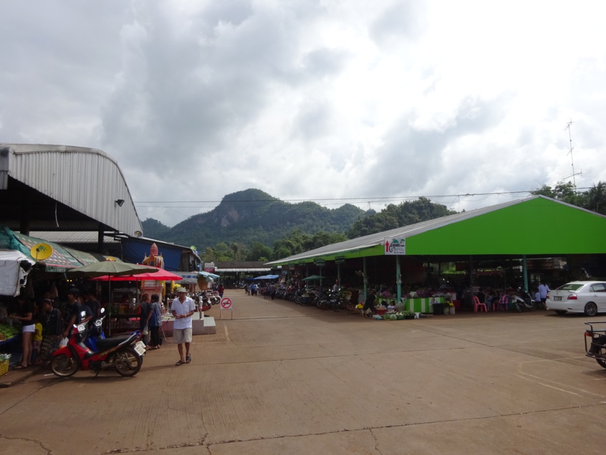
 A small market near the junction to the Thong Pha Phum District, thank you photo by Mr.Håkan Larsson
 A bridge over the Khwae Noi River the entrance to the Thong Pha Phum Town, thank you photo by Mr.Håkan Larsson
We checked in at Thong Pha Phum Place and showered and got a plan to wander around a small district. Yes, it was a good thing to do in the evening. My buddy showered before and dressed up. He prompted to wander and dinner. Then I showered. When I finished I founded that he deeply slept. Ummm…what I could do, so I did the same.
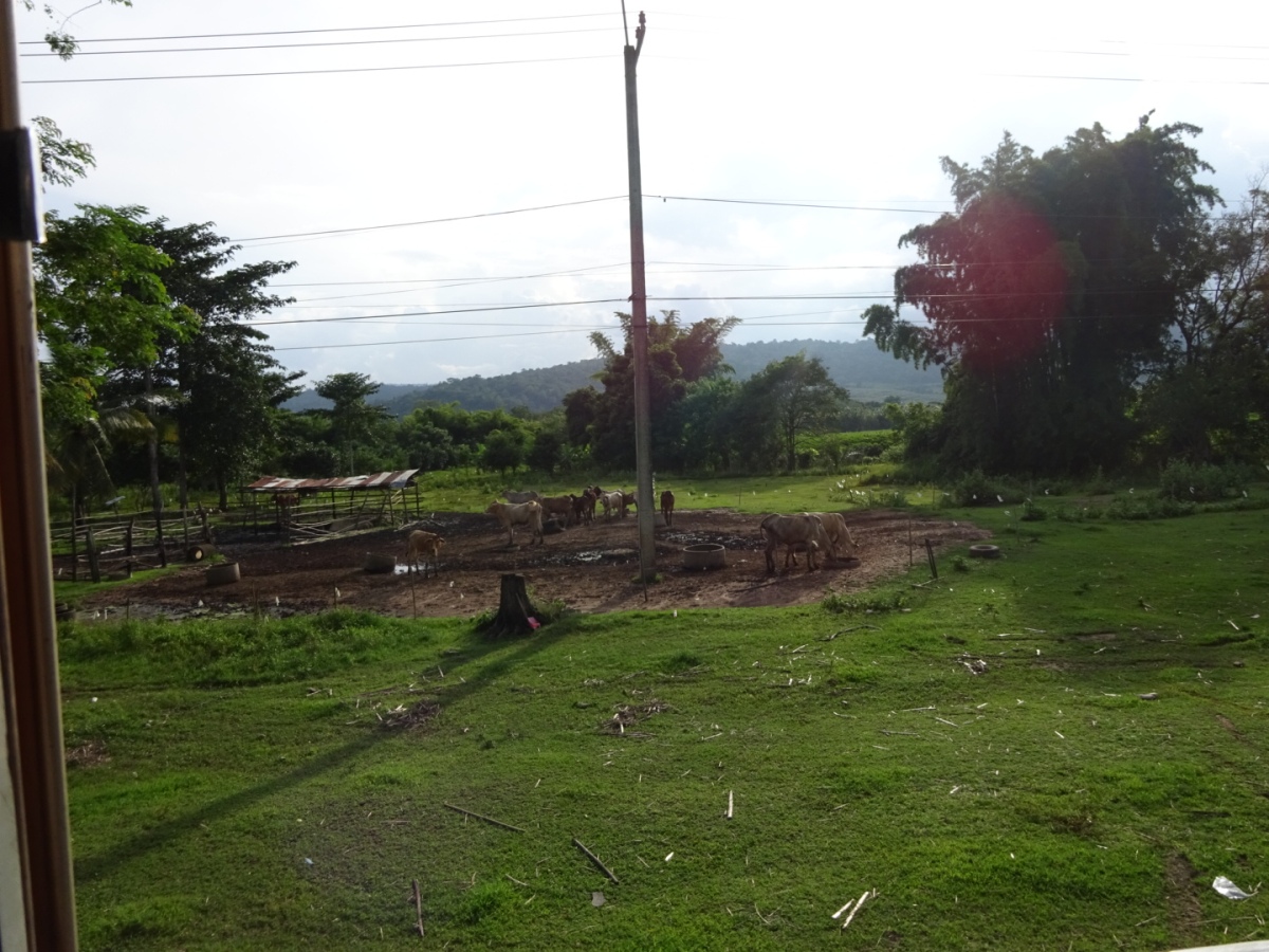
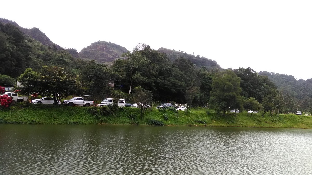
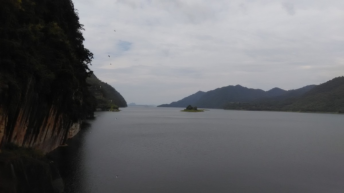
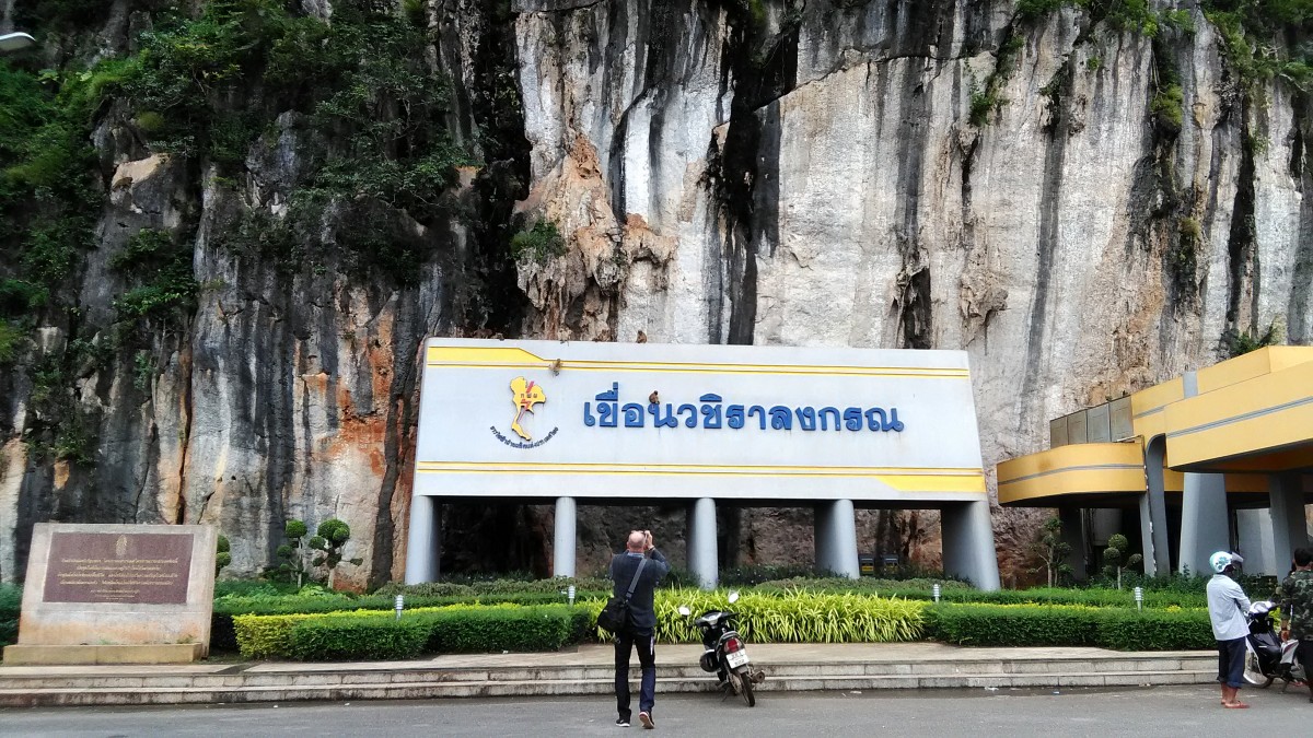
 The Thong Pha Phum is somewhere in the valley, view from the Vajiralongkorn Dam
Well! We got up at 7 pm. and we went to dine. The town was very quiet. There was not any restaurant around the hotel. I asked the receptionist where we could dine. He told us to go somewhere….not a good idea to walk around the quiet town and everywhere closed. Only 7-eleven and a small grilled pork stall were opened. So my buddy bought the grilled pork and a piece of sticky rice and the chicken skin fried. We had to dine with something like these that evening. It was not any matter for me I bought some banana and taro snacks from the Saiyok Noi Waterfall….tasty.
We got up in the morning without any plan. The first thing we had breakfast in the a pretty market. I asked someone in the market how to go to the Ban I-Tong. She told me that we must go there by a Song Thaew. We wandered from the market then I saw a Song Thaew which has written on its sides “Ban I-Tong”. I asked the driver we wanted to go to the Thong Pha Phum National Park. He told us that nothing in the national park. He recommended us to stayed at the Ban I-Tong Village and he booked a room for us and I got a discount 200 bht. How nice it was!
 A small market in the Thong Pha Phum town, thank you photo by Mr.Håkan Larsson
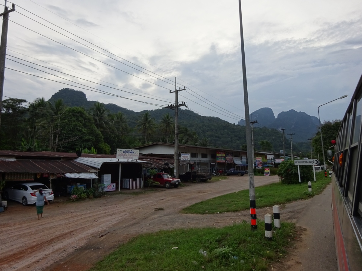
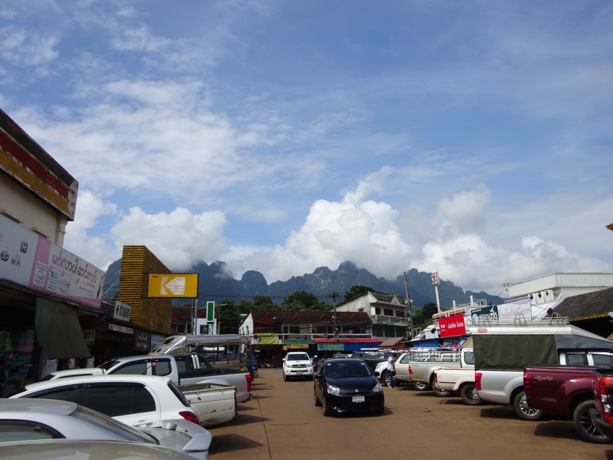 A nice mountains view from the Thong Pha Phum town. A Soong Thaew Bus Stop is behind the yellow ads. cutout. Thank you photo by Mr.Håkan Larsson
We booked the Song Thaew to go to the Ban I-Tong already. We had time to walked around the small town. We walked to the Khwae Noi Riverside. It was not as good as my thought. There is a resort on the bank. My buddy complaint why we did not stay there last night. I told him that we did not want any nice view because we tried and fell asleep.
 A resort at the Khwae Noi River, thank you photo by Mr.Håkan Larsson
 The road down to the Khwae Noi River, thank you photo by Mr.Håkan Larsson
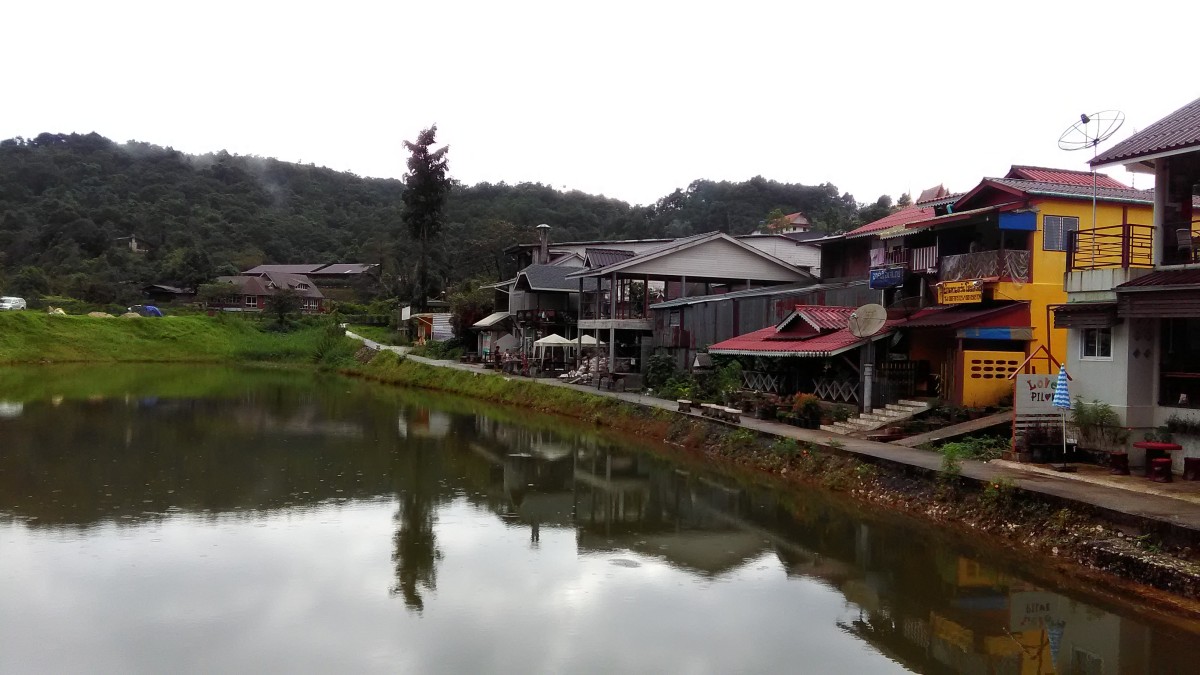
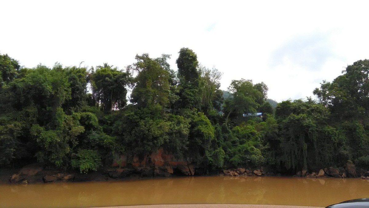 The Khwae Noi River at the Thong Pha Phum Town
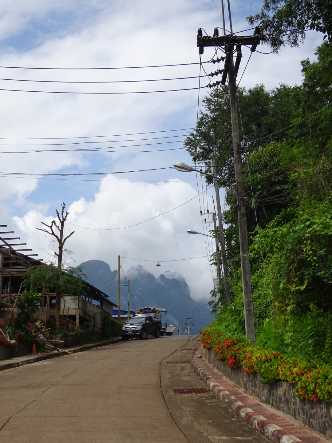
Ban I-Tong is a small village on Tanao Sri Range, the border of Thai-Myanmar Mountains in the Western Thailand. It is a far most village. It is far from the Thong Pha Phum District, the Kanchanaburi Province about 70 kilometers.
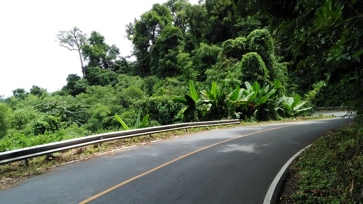
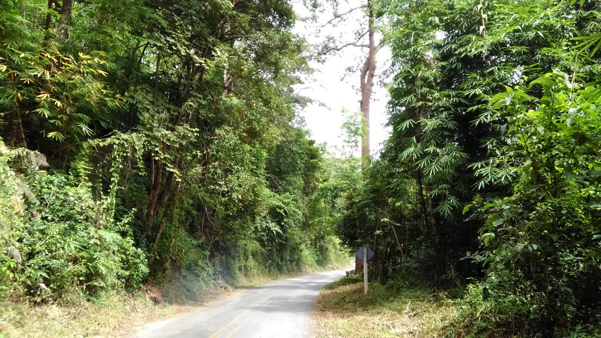
The road heads to the Ban I-Tong is very beautiful mountains scenic. I just love something like this. We enjoyed the view along the roadsides and took some photos. By the way we are amateur photographers so our photos not too good. However you all have seen them.
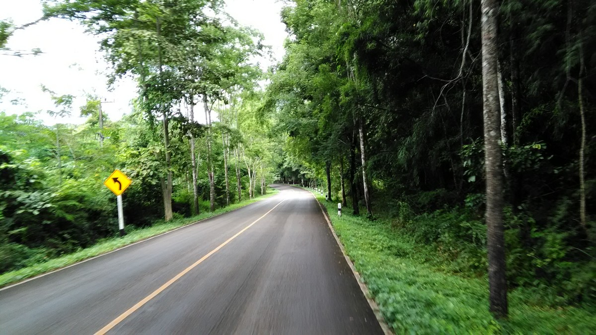 The green road headed to the Ban I-Tong.
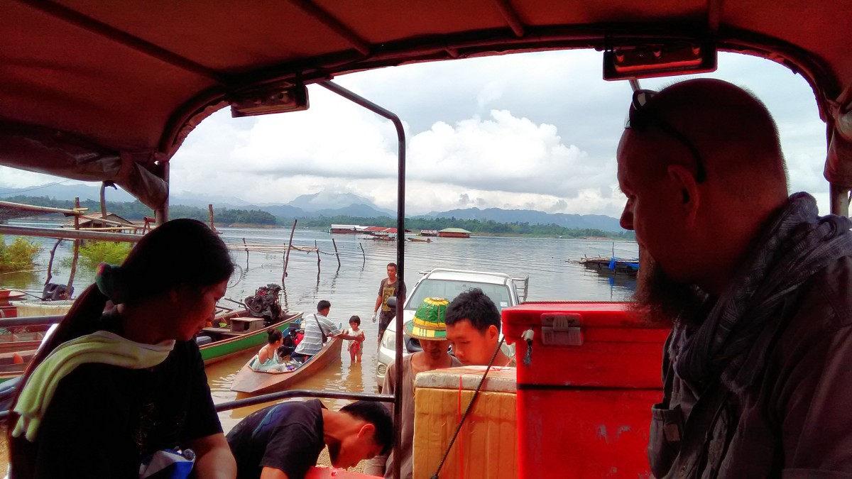 A fishing village in the Vajiralongkorn Reservoir, the diver stopped by taking some fresh fishes to the restaurants at Ban I-Tong.
 A road on the mountains to the Ban I-Tong
The village is in the area of the Thong Pha Phum National Park. Sometimes it is known as Pilok Mine (Mueang Pilok). Pilok was a tin mine site. Nowadays it is just a village of the old mine community site. A famous one of tin mine near the village is the Somsak Mine. Somsak was died many years ago but his wife, an Australian lady, lives there. Their mine is become a resort. She bakes an original her own formula cake recipes. She has also taught the villagers bake her own formula.
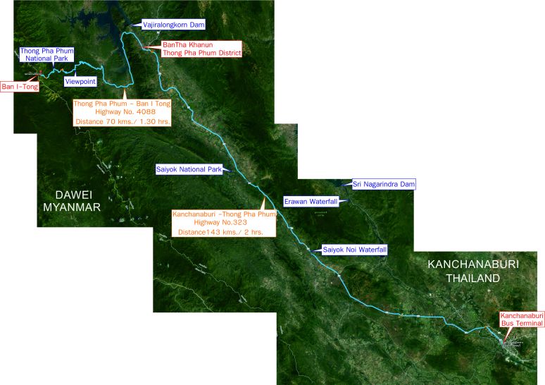
Route Map to Ban I-Tong , Thank you for reference : Google Map
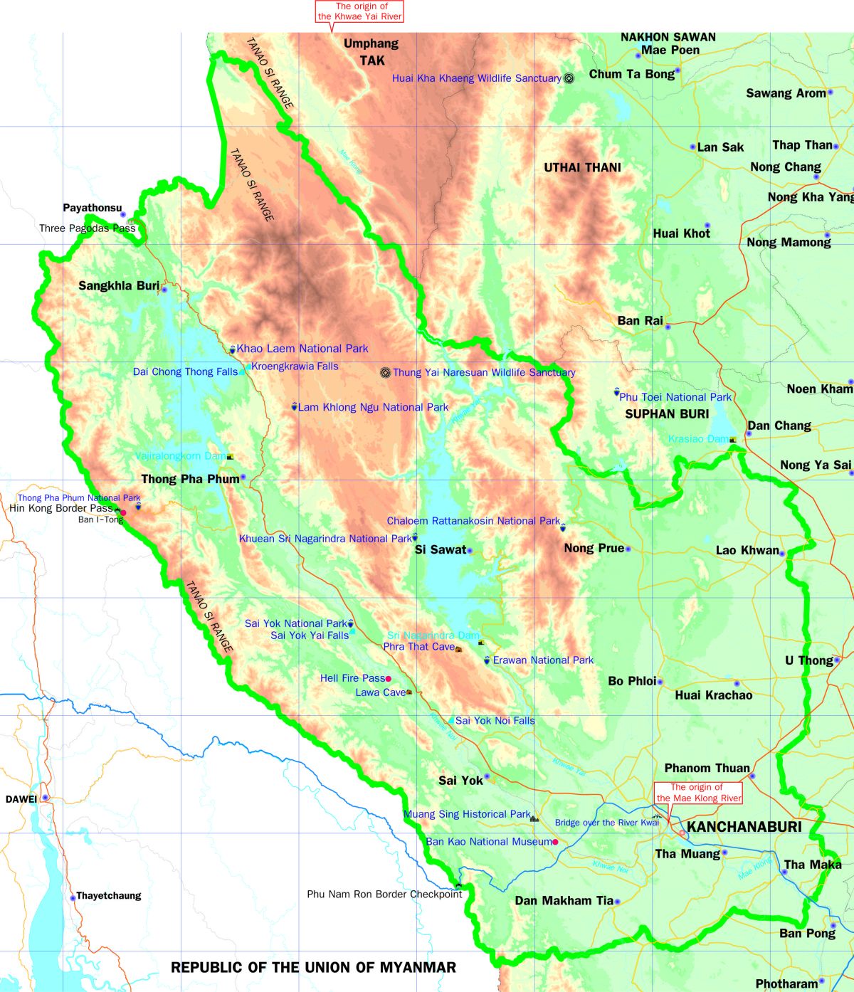 Physical Map of Kanchanaburi
When we entered to the area of the National Park I noticed that the road is not quite good as the standard of the provincial highway. The Department of National Parks, Wildlife and Plant Conservation does not allow to construction in their area, just for repairing only.
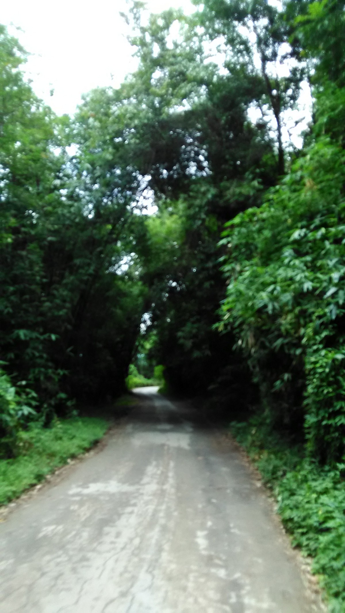 The road in the area of the Thong Pha Phum National Park
 The mountains view from the Provincial Highway No.3272, Thong Pha Phum to Ban I-Tong
We past the Thong Pha Phum National Park for a while we just arrived at the village. All 70 kilometers we have passed we were exciting with the mountains green view and appreciated to take a look at the roadsides all the trip.
When we arrived at the Ban I-Tong Village it was raining. The driver took us to the resort. The resort owner stood on the old wooden buildings that made me upset where is his resort!
After said greeting he let us downed the stair to that did not make me feel better. Then he took us to the new building and got into the room. Oh! Yeah! It was a nice room and has a terrace to take a look at the Chang Phueak Mountain. What a wonderful resort, the Pilok Hill House!
 The stair downs to the resort
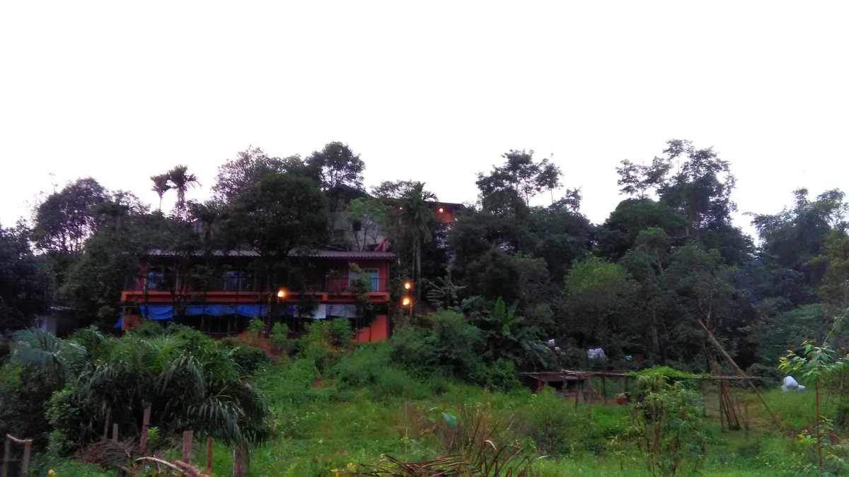 A pretty resort, Pilok Hill House, it’s a nice room and of course a hospitality resort with fine friendship services.
 The Noen Chang Phueak is in the far nost, view from the terrace of the Pilok Hill House.
We rested for a while. When the rain was slightly dropping we went out to explore around the Ban I-Tong Village. We walked up to the top of Noen Sao Thong.
 Trial grass flowers,#Billygoat-Weed, Chick Weed #Ageratum Conyzoides, on the raining day.
The weather is so fine all the year, average 16c – 27c degree. There is some rain here so the mist is always coverage over the mountains all year round. We explored the village while it rain slightly. We stayed a night at the Pilok Hill House without turning on the fan of the air-conditioner.
The villagers were supported to cultivate the plant from the cold zone. Here we could found the flowers which can grow well in the cold climate.
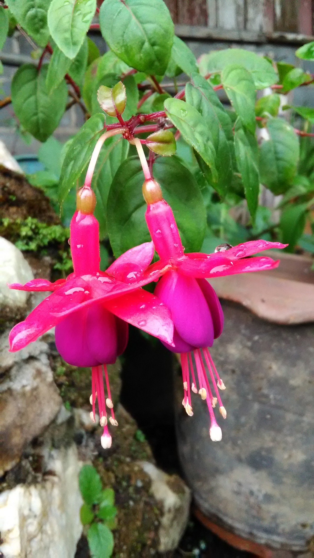 The blood drops under the rain drops!
There are many tourist spots in the area nearby the Ban I-Tong Village, the Thong Pha Phum National Park, the Chokkadin Waterfall, the Somsak Mine (Pilok MIne), the Noen Chang Phueak (Chang Phueak Mountain), the Noen Sao Thong (Sao Thong Mountain), the Noen Chang Suek (Chang Suek Mountain).
 The Noen Chang Phueak view from the Noen Sao Thong
 The Noen Chan Suek on the far most, view from the Noen Sao Thong
We just arrived in the late afternoon and we must go back in the late morning though we have not visited any place. We just walked around the village and spent a wonderful night with the guys who they are the owners of the resorts and their friends. We had a small party and sharing our experiences. So nice!
 A clear water pond is in front of the village. I guess that it was a pond once it was a tin mine.
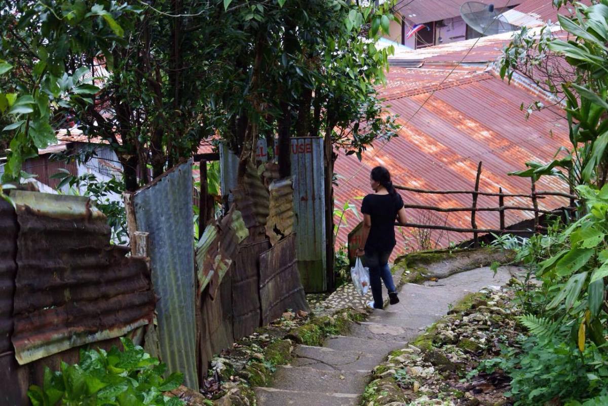
 We waled on the path past the nice resorts, home stay, coffee shops.
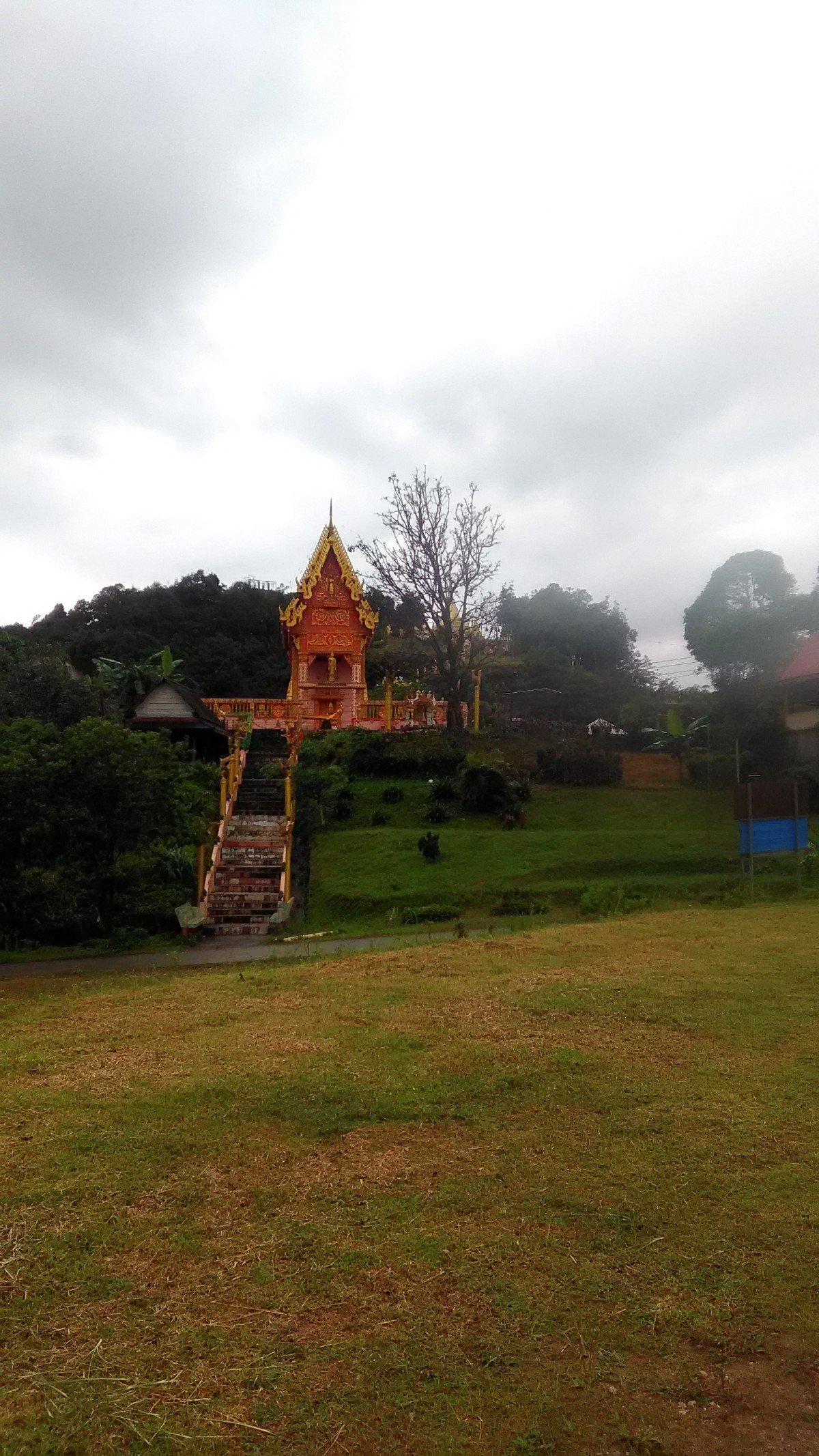
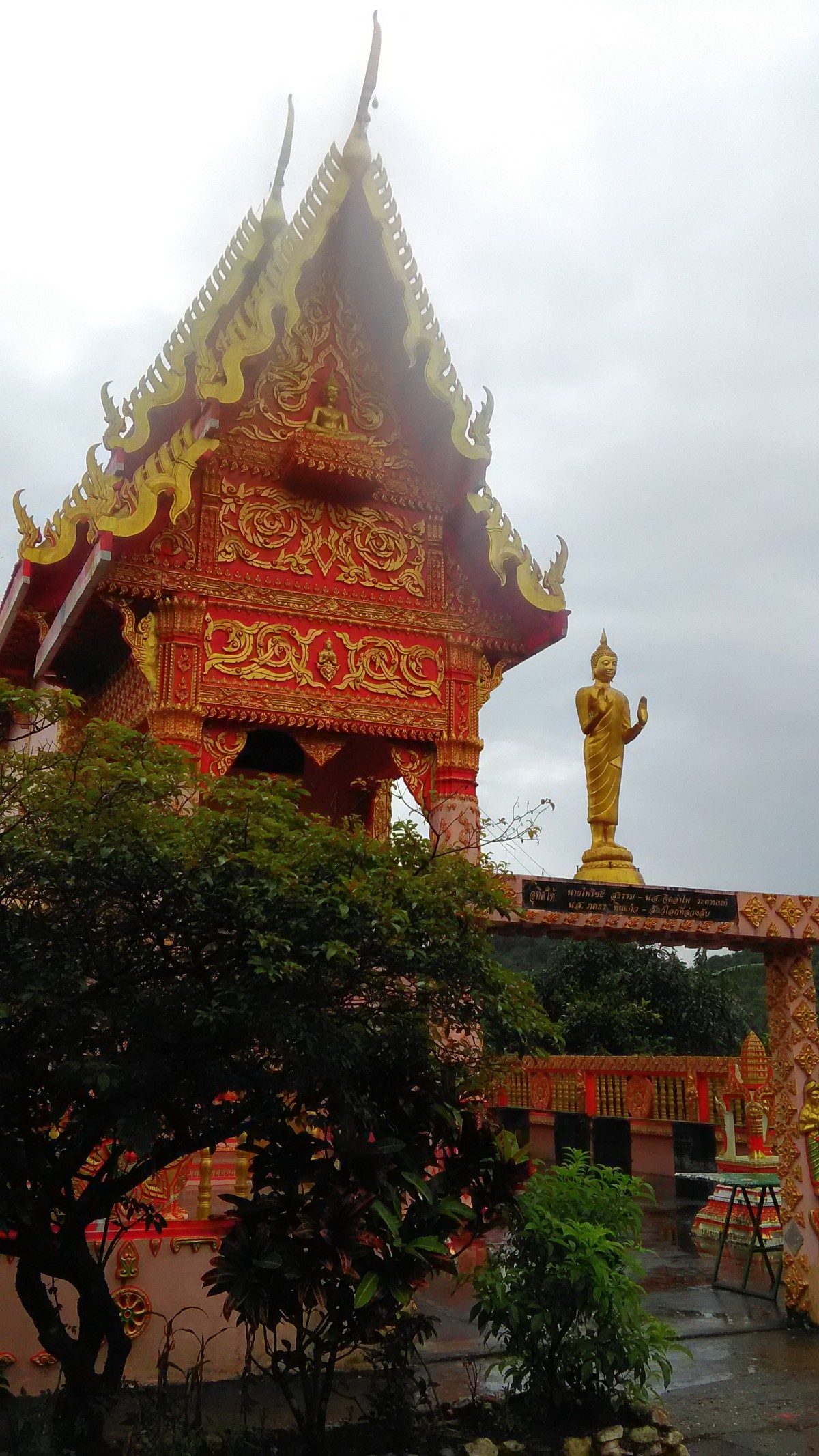 Wat Mueang Pilok, it is on the mountain before the Noen Sao Thong.
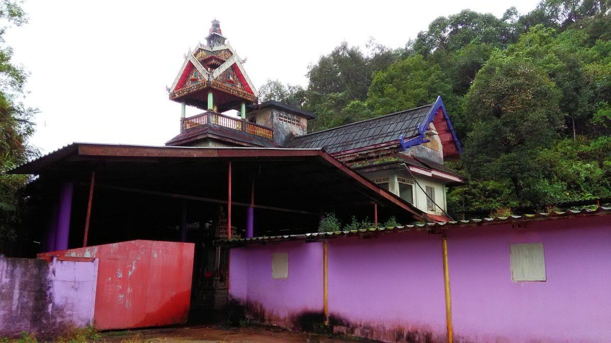 The abandoned temple
 The indicator of abundance rainforest, it is on the roadside to the Noen Sao Thong.
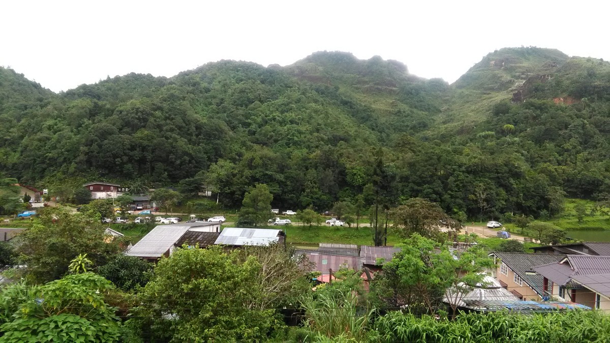 The Ban I-Tong Village, view from the camp ground, it is on in front of the Wat Mueang Pilok.
 The habitats, thank you photo by Mr.Håkan Larsson
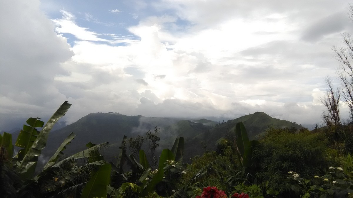
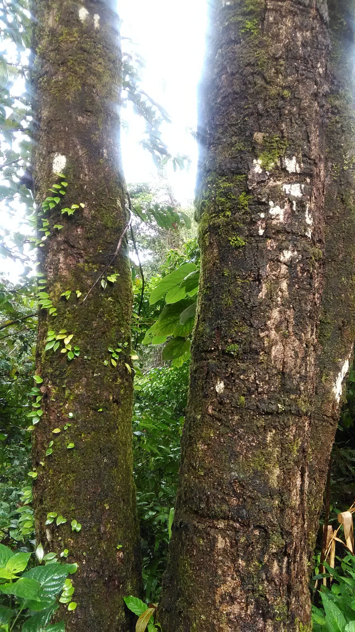
A pretty village is on the mountains. Its altitude is about 1000 meters above mean sea level. It’s such a kind of rainforest climate so always green.
 The starting of gas pipeline from Yadana Site, Gulf of Bengal, Myanmar to Thailand, it is a project of PTT. The Burmese Military Campsite is on the left side of this picture.
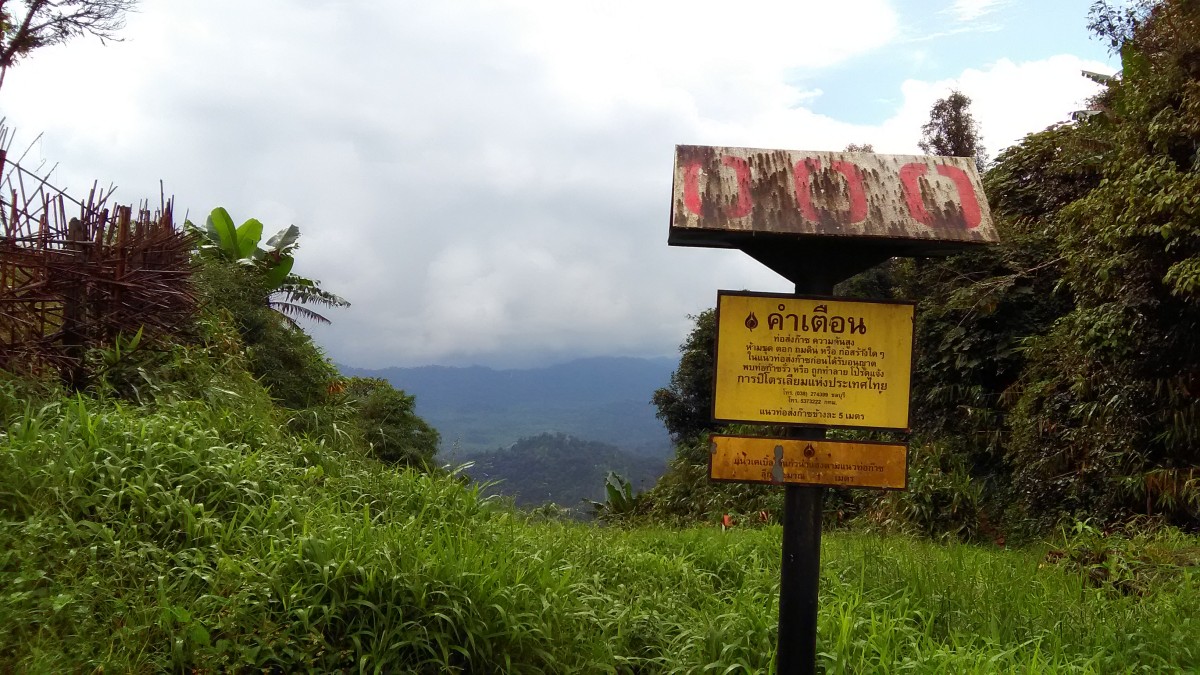
A mountain on the west of the village, it is called “Noen Sao Thong”. Its official name is the “Forever Friendship Thai-Myanmar”. From this point we can see a small town of Myanmar. There is also Myanmar Military Campsite there on the border.
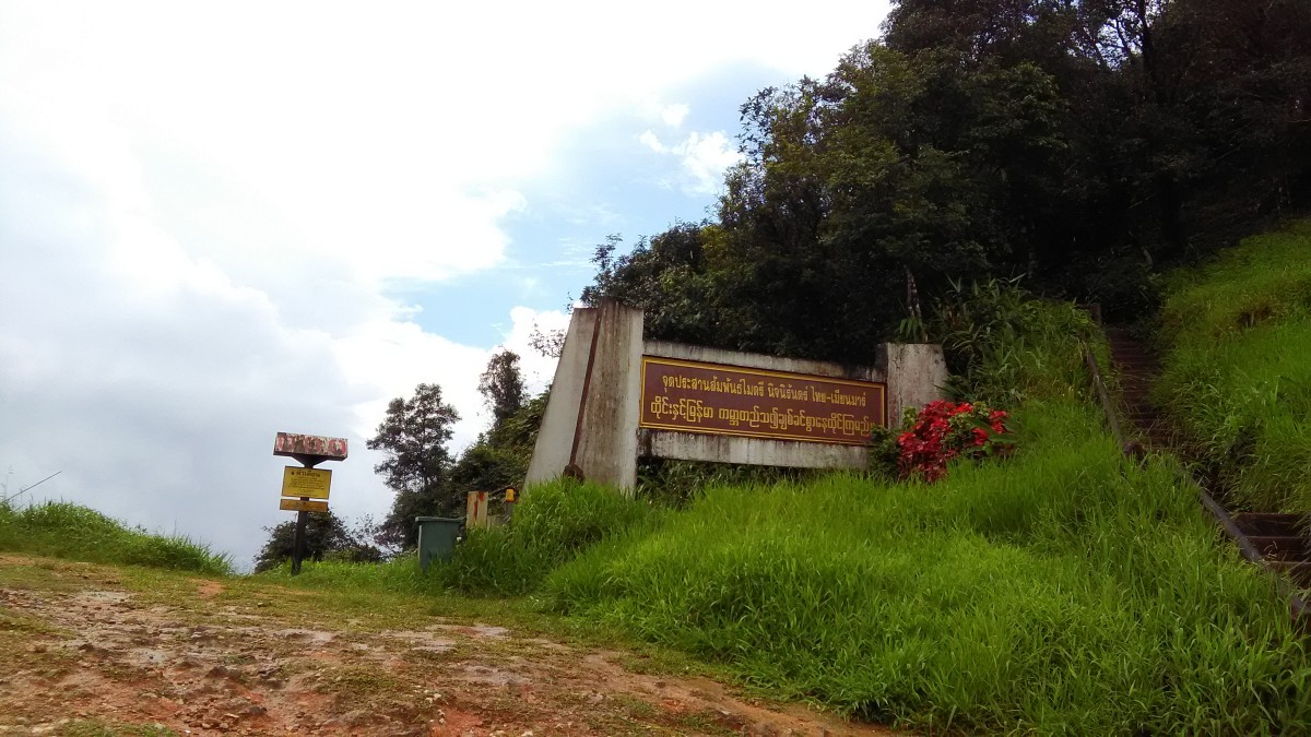 The announcement memorial of the Forever Friendship Thai-Myanmar
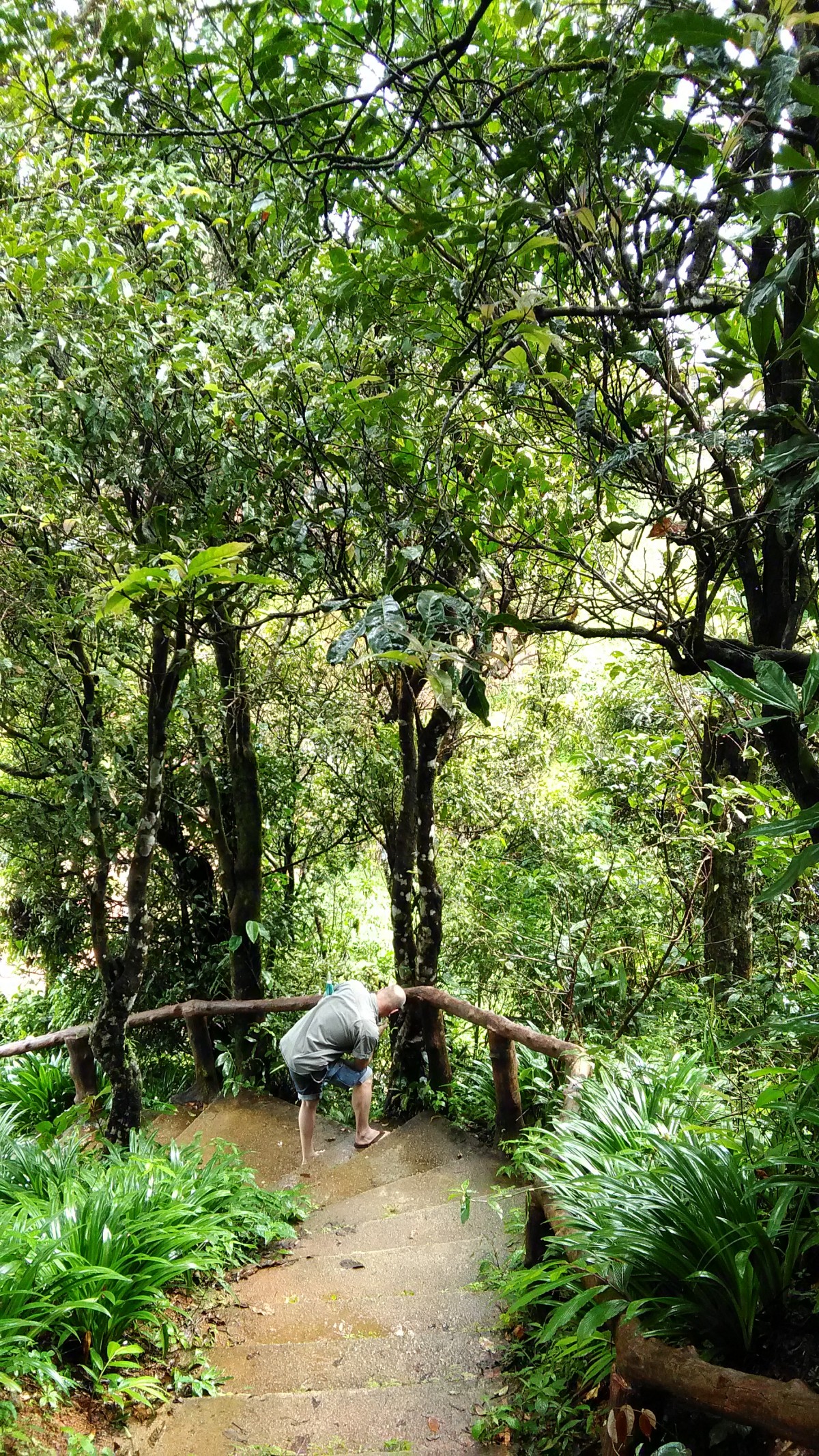 Stairway to the top of the Noen Sao Thong
 A view into the land of Myanmar, we can see the metering station TOTAL EP Myanmar.
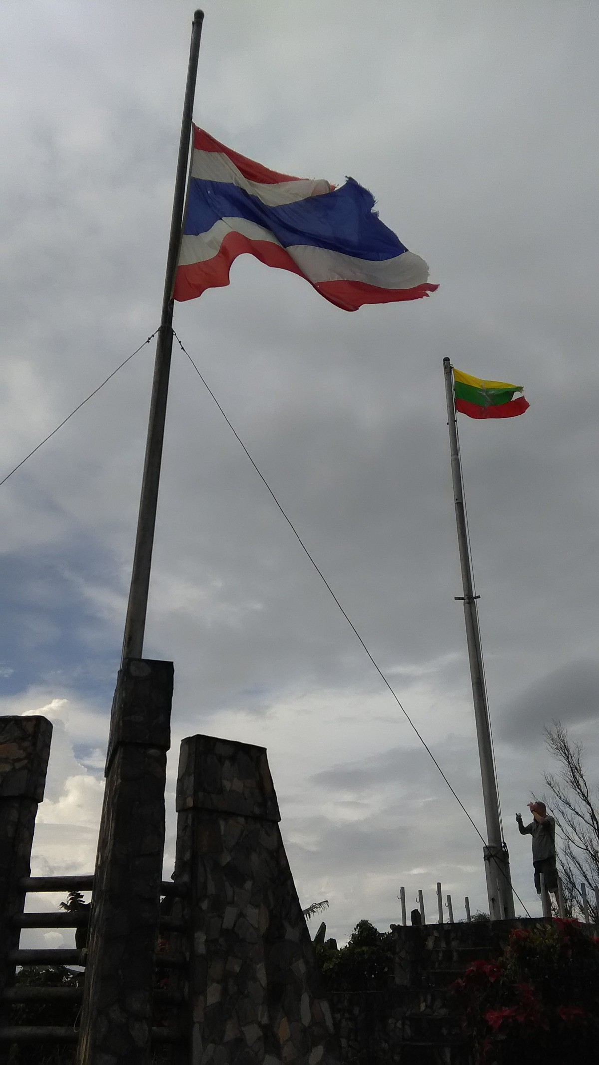 On the top of Noen Sao Thong where are located the poles of the Thai flag and the Myanmar flag.
Once three decades ago, this area was dangerous. It was a fighting area of the ethnics groups of Myanmar, Burmese, Karen, Mon. When we explored around the village we could found many hole bunkers on our trail.
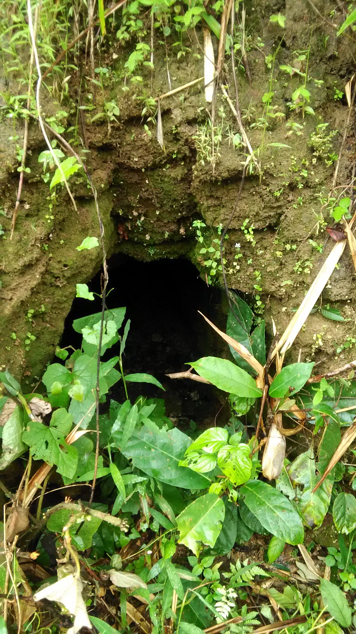 The hole bunker on the road side up to the Noen Sao Thong
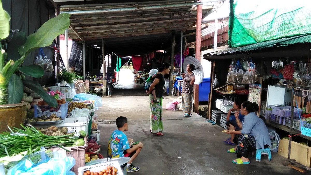 A very small market of the Ban I Tong Village
Talat Ban I-Tong, Ban I-Tong community market, the villagers are 3 ethnics, the most of them are the Mon, the Burmese and the Thai are just a little.
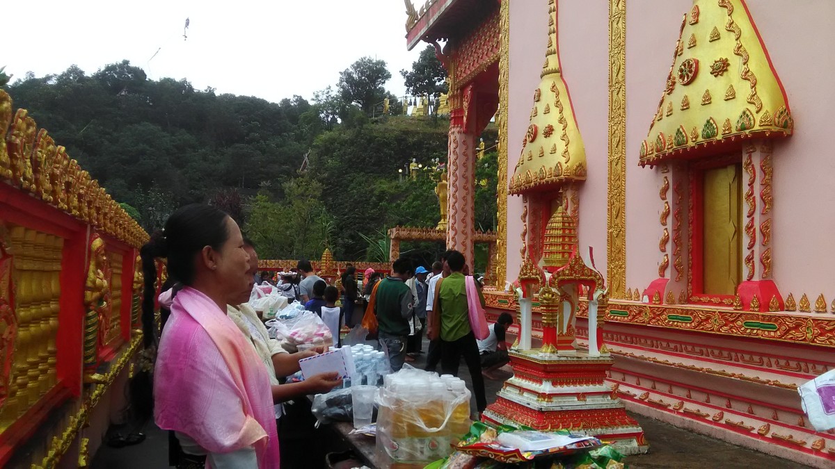 The villagers were making merit on the Lent Day.
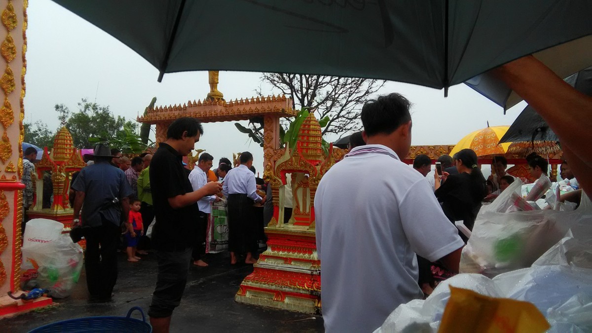 The villagers were making merit on the Lent Day.
 He is a receptionist of the Ban I-Tong Village. He always stands by at the campsite in front of the Wat Mueang Pilok.
 The campsite in front of the Wat Mueang Pilok
The most people in the village are the Buddhists. They are highly faith and respect in Lord Buddha and always make a merit with faith. However there is a Christ Church in the north of the village.
 A memorial bridge of mine!
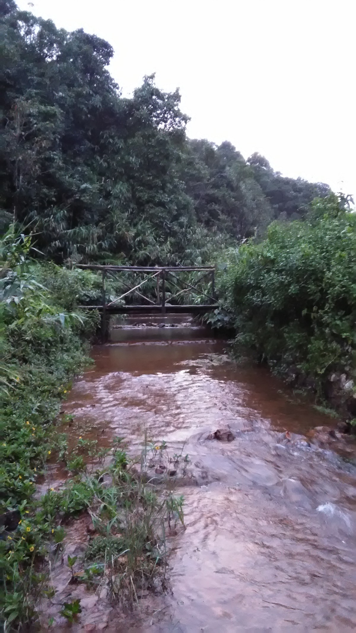
The stream flows from the border mountains Thai-Myanmar. This stream is on the north of the village. It flows from the west to the east.
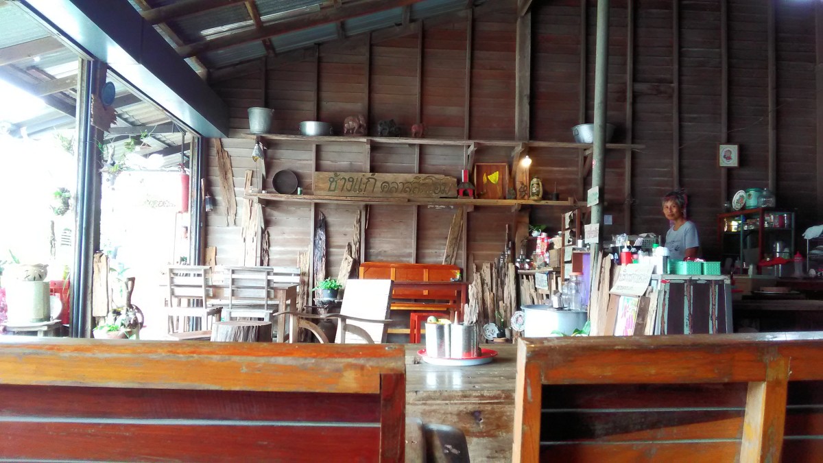 Old style coffee shop, It’s so cool.
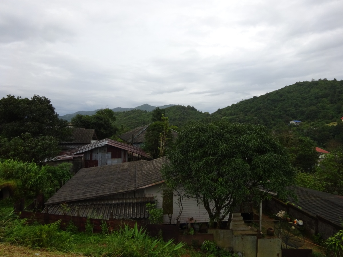
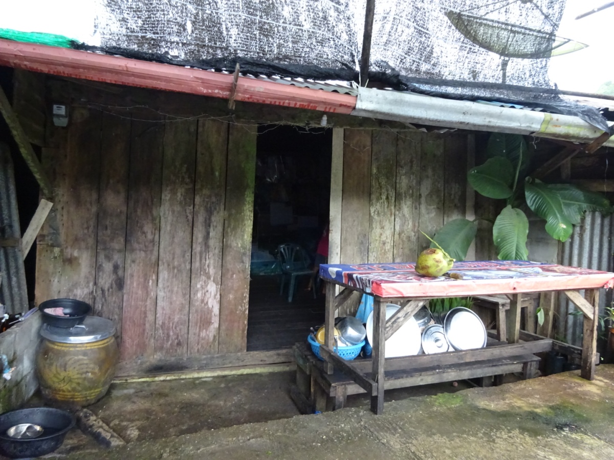 The villagers’ habitat, thank you photo by Mr.Håkan Larsson
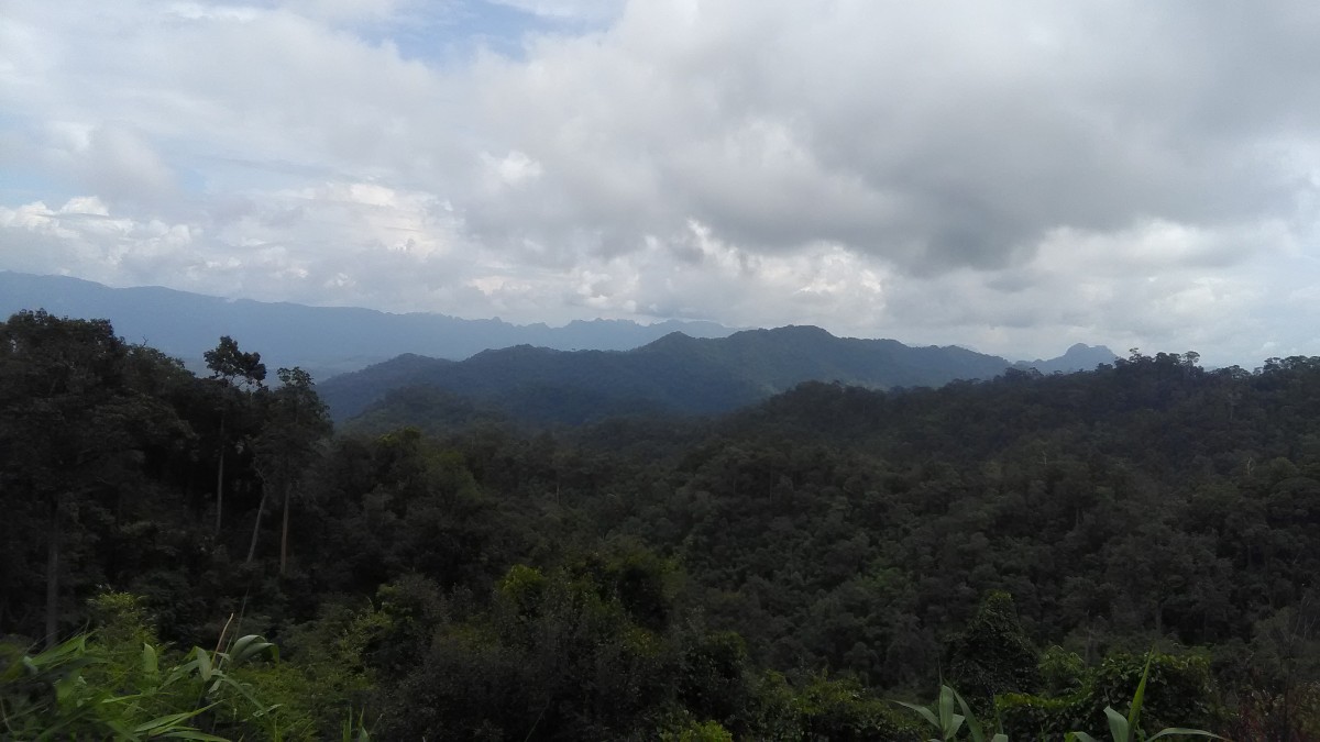
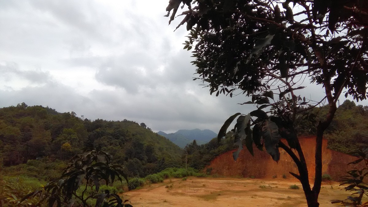
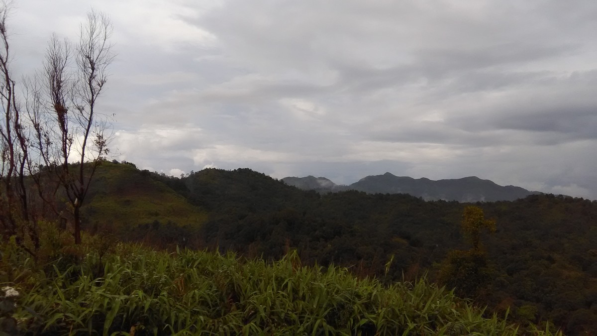
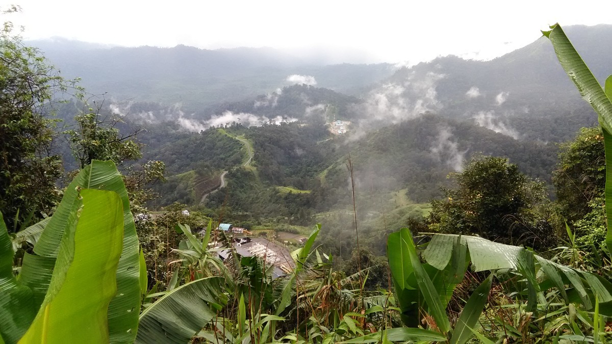
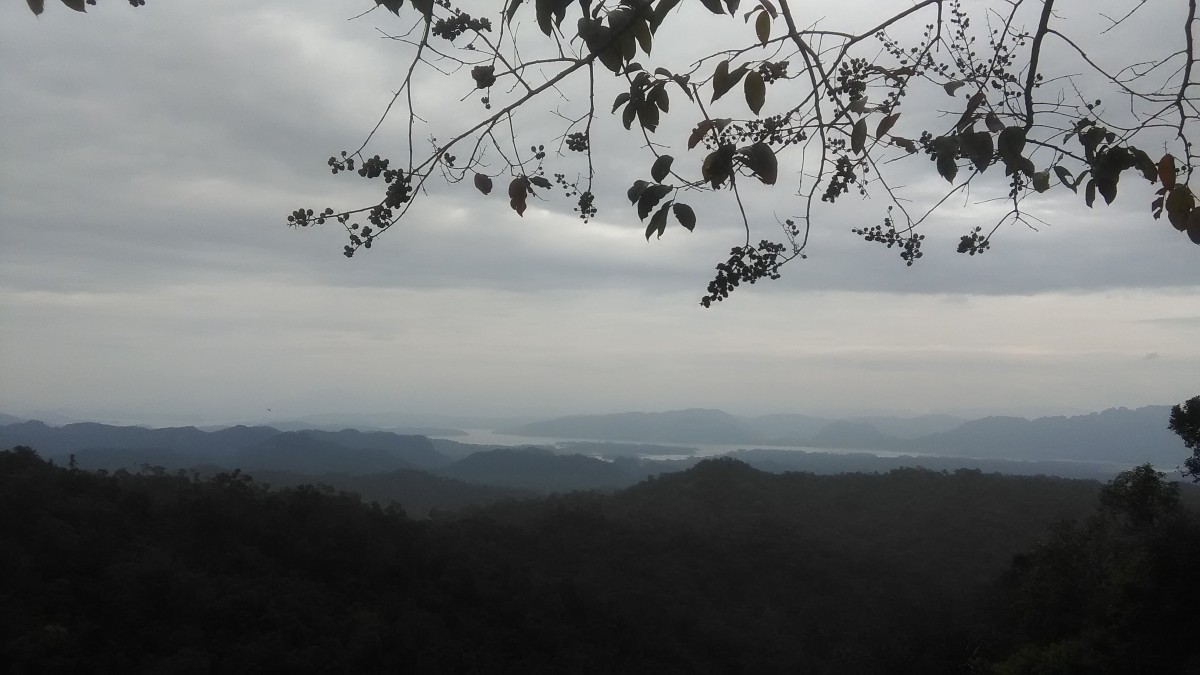 Viewpoint on the Provincial Highway No.3272, Thong Pha Phum to Ban I-Tong, the Thong Pha Phum National Park, we can see the Vahiralongkorn Reservoir among the mountains.
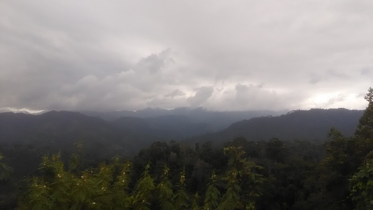 The mountains is covered with the mist. Viewpoint on the Provincial Highway No.3272, Thong Pha Phum to Ban I-Tong, the Thong Pha Phum National Park
 The Vajiralongkorn Reservoir, on the way to the Ban I-Tong
How to go to the Ban I-Tong! If you go ahead to the Ban I-Tong by bus or van, you must depart from Bangkok very early. Check out the timetable of the bus or van to Kanchanaburi at the Bangkok Bus Terminal, Southern or the bus to Sangkhla Buri at the Bangkok Bus Terminal, Northern and Northeastern. Both terminals have the buses and vans go to the Kanchanaburi Province and the Sangkhla Buri District. Buy the ticket to the Thong Pha Phum District. When arrives in the Thong Pha Phum District takes a Song Thaew to the Ban I-Tong which the last one to this village is about 11.30 am.
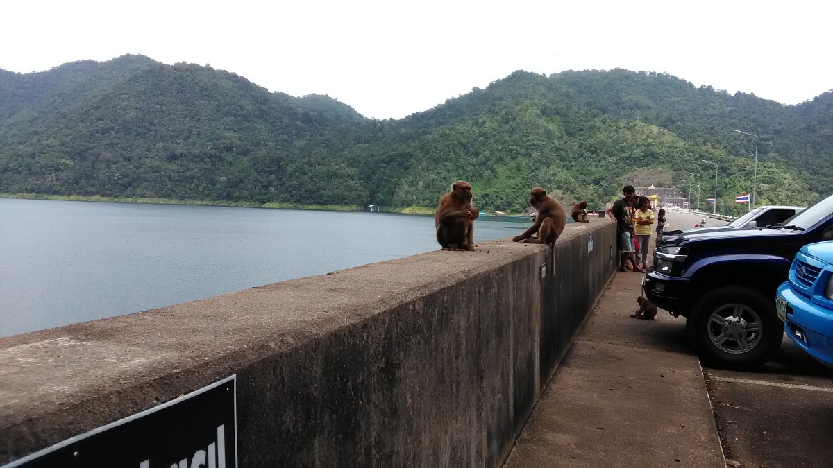 The Vajiralongkorn Dam, on the way to the Ban-I Tong
If you go the Ban I-Tong by train you have to stay a night at the Thong Pha Phum or somewhere in the Kanchanaburi Province. Because the train will arrives in the Kanchanaburi Station at 11.00 am and the Nam Tok Station 12.00 am. It is too late for the last Song Thaew which goes to the Ban I-Tong.
 The Vajiralongkorn Dam, on the way to the Ban-I Tong
Everyone!!! Who gets a plan to visits Thailand and requires a traveling plans, please send text to me on Contact. I will give you a traveling plan and a free copy of Tout Thai Hi-Way Map 77 Provinces!!!

Thank you for following Storyteller. I actually, stayed at this place a few years ago,
LikeLiked by 2 people
My pleasures. Nice to hear that you stayed there before. I hope you also agree with me how nice for being slow life there.🙂
LikeLiked by 1 person
What a beautiful looking place. I would take so many photos there. I always wanted to see thailand, maybe some day in the future 🙂
LikeLiked by 2 people
It’s a small village where is a very good atmosphere. Welcome to Thailand! 🙂
LikeLiked by 1 person
The mountains and the reservoir look gorgeous. But what really caught my eyes were the dried up Saiyok Noi waterfalls. Fascinating in their undulating texture!
LikeLiked by 2 people
The Saiyok Noi Waterfall is a small waterfall Ithink it’s better this year because the rain comes as usuak it shoukd be.😃
LikeLiked by 1 person
Well it looks stunning even without the rain waters bringing it back to life 🙂
LikeLiked by 2 people
Yes, I think so. But so sad when saw it without water.
LikeLiked by 1 person
I can imagine. It is…
LikeLiked by 2 people
I love this post, very entertaining! The murkiness of the water is quite scary, I wouldn’t risk swimming in it 😉
LikeLiked by 2 people
Thank you so much. I’m very glad to hear that you love it. Me neither, I did not try to do that. 🙂
LikeLike
Great photos! Love that receptionist, too. And…thank you for the ‘follow’ 🙂
LikeLiked by 2 people
Thank you so much! Yes, he is so cute. You are welcome. I would like to read. 🙂
LikeLike
ံHow long does it take from Kanchanaburi to Ban I Tong by Car ?
LikeLiked by 1 person
From Kanchanaburi to Ban I-tong is about 213 kms, 3 hrs, 24 mins.
LikeLike
This place looks heavenly. Glad you had such a great time. 🙂
LikeLiked by 1 person
Glad you like it. It’s a very nice place to relax among the mountains. 🙂
LikeLike
Nice photography. Thank you for following the Freewheeling Freelancer.
LikeLiked by 1 person
You are welcome. I read your story and enjoyed it so much. Thank you for sharing.
LikeLike